Canada - Population
The population of Canada in 2003 was estimated by the United Nations at 31,510,000, which placed it as number 36 in population among the 193 nations of the world. In that year approximately 13% of the population was over 65 years of age, with another 19% of the population under 15 years of age. There were 98 males for every 100 females in the country in 2003. According to the UN, the annual population growth rate for 2000–2005 is 0.77%, with the projected population for the year 2015 at 34,133,000. The population density in 2002 was 3 per sq km (8 per sq mi).
Statistics Canada is the Canadian government bureau that conducts the census; every five years, forms are included with the
annual income tax returns that are sent to every mailing address. The population doubled between 1945 and 1993, although the growth rate declined from 12.9% for 1971–81 to 12.1% for 1981–91. The highest growth rates for 1981–91 were in the Northwest Territories (26%), British Columbia (19.6%), and Ontario, 16.9%.
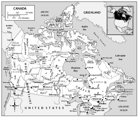
It was estimated by the Population Reference Bureau that 77% of the population lived in urban areas in 2001. The capital city, Ottawa, had a population of 1,097,000 in that year. The Toronto metropolitan area had an estimated population of 4,657,000; Montréal, 3,401,000; Vancouver, 1,987,000; Edmonton, 913,000; and Calgary, 888,000. Other large cities include Winnipeg, 652,354; Québec, 645,550; Hamilton, 599,760; St. Catherines-Niagara, 364,552; London, 381,522; Kitchener, 356,421; Halifax, 320,521; Victoria, 287,897; Windsor, 262,075; Oshawa, 240,104; and Saskatoon, 210,023. According to the United Nations, the urban population growth rate for 2000–2005 was 1.1%. Ontario, with 81.8% of its population classed as urban, was the most urbanized province, followed by British Columbia (80.4%), Alberta (79.8%), and Québec (77.6%). Only New Brunswick (47.7%), Prince Edward Island (39.9%) and the Northwest Territories (36.7%) have less than half their population in urban areas.
The population is unevenly distributed, ranging from 0.02 per sq km (0.045 per sq mi) in the Northwest Territories to 22.8 per sq km (59 per sq mi) on Prince Edward Island. Nearly 85% of the people live within 150 km (93 mi) of the US boundary. All except the Maritime provinces have large areas virtually uninhabited.