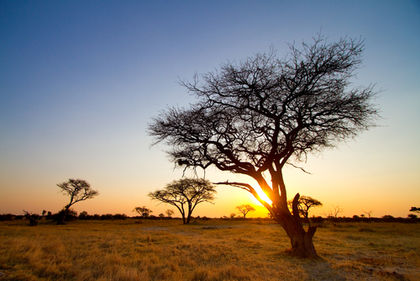
Zimbabwe - Location, size, and extent

A landlocked country of southcentral Africa, Zimbabwe (formerly Rhodesia) lies between the Zambezi River on the N and the Limpopo River on the S . It has an area of 390,580 sq km (150,804 sq mi), with a length of 852 km (529 mi) WNW – ESE and a width of 710 km (441 mi) NNE – SSW . Comparatively, the area occupied by Zimbabwe is slightly larger than the state of Montana. Bounded on the N and E by Mozambique, on the S by the Republic of South Africa, on the SW by Botswana, and on the NW and N by Zambia, Zimbabwe has a total boundary length of 3,066 km (1,905 mi). Zimbabwe's capital city, Harare, is located in the northeast part of the country.
this helped me heaps thanks alot this site was good as