Yemen - Transportation
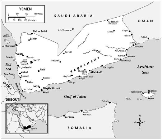
Through the 1950s, Yemen's transportation system consisted of a few primitive mud tracks connecting the larger towns. Then, in 1961, technicians from China completed a 224-km (139-mi) road between San'a and Al-Hudaydah, the YAR's first asphalt highway. Seven years later, the US finished the 386-km (240-mi) highway linking Sana, Ta'izz, and Al-Mukha; the USSR completed a road from Ta'izz to Al-Hudaydah in 1969. Other paved roads extend from Sana to Ma'rib, from San'a to Sa'idah, from Ta'izz to At-Turba, from the San'a-Ta'izz highway to Al-Bayda, and from Ta'izz to Aden ('Adan). A direct link between San'a and Wadi Hadhramaut via Marib was completed in 1999. By 2002, Yemen had about 69,263 km (43,040 mi) of roadway, of which only 9,963 km (6,191 mi) were paved. Passenger cars numbered only 33,600 in 2000, and there were 83,600 commercial vehicles. There are no railways or waterways in Yemen.
Improvements to the main port of Al-Hudaydah have expanded berthing, storage, and handling facilities and increase cargo capacity to 1,750,000 tons annually. Other ports are Al-Mukha, Aden, and Salif, which have sheltered harbors and deepwater berths capable of taking 10,000-ton ships. In 1999 teh Aden Container Terminal opened with further expansion plans underway. In 2002, Yemen had a merchant fleet of 4 ships, totaling 15,002 GRT.
Progress in air transportation has been rapid in recent years. In 2001 there were 49 airports, 16 with paved runways. The principal airfield, capable of handling modern jet aircraft, is Ar-Rahba International Airport, north of Sana. There are smaller international airports at Al-Hudaydah, Ta'izz, and Aden. Aden International Airport was renovated and Sana's renovation was scheduled for late 2001. Yemen Airways (Alyemda), the national airline, operates services between San'a, Ta'izz, Al-Hudaydah, and Al-Bayda and also schedules flights to Egypt, Ethiopia, Kuwait, Sa'udi Arabia, and the United Arab Emirates. The airline carried 841,400 passengers in 2001.
i really enjoy this masterpeice.
:]
agstravagant!
great for researchers!
sincerely,
yadela