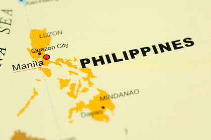
Philippines - Topography
The topography is extremely varied, with volcanic mountain masses forming the cores of most of the larger islands. The range culminates in Mt. Pulog (elevation 2,928 m/9,606 ft) in northern Luzon and in Mt. Apo, the highest point in the Philippines (elevation 2,954 m/9,692 ft), in Mindanao. A number of volcanoes are active, and the islands have been subject to destructive earthquakes. Lowlands are generally narrow coastal strips except for larger plains in Luzon (Cagayan Valley and Central Plains), Mindanao (Cotabato and Davao-Agusan valleys), and others in Negros and Panay. Rivers are short and generally seasonal in flow. Important ones are the Cagayan, Agno, Abra, Bicol, and Pampanga in Luzon and the Cotabato and Agusan in Mindanao. Flooding is a frequent hazard. The shores of many of the islands are embayed (Manila Bay is one of the finest harbors in East Asia); however, several islands lack adequate harbors and require offshore lightering for sea transport. The only two inland water bodies of significant size are Laguna de Bay in Luzon and Lake Sultan Alonto in Mindanao.
thanks!
Now I don't need to read every page to get answers in the book's unit test :)
bayang magiliw? OUR NATIONAL ANTHEM?
THANKS for any feedback :)
thanks for this i can answer my question its so hard to find this answer
:D